
Product updates
GeoTIFF 3D terrains makes Nextspace a clear choice for drone operators
Fly drones? Welcome to your digital twin platform.
GeoTIFF 3D terrains makes Nextspace a clear choice for drone operators
Fly drones? Welcome to your digital twin platform.
Product updates
GeoTIFF 3D terrains makes Nextspace a clear choice for drone operators
Fly drones? Welcome to your digital twin platform.
Product updates
GeoTIFF 3D terrains makes Nextspace a clear choice for drone operators
Fly drones? Welcome to your digital twin platform.
Product updates
GeoTIFF 3D terrains makes Nextspace a clear choice for drone operators
Fly drones? Welcome to your digital twin platform.
Product updates
CCO, Nextspace
January 13, 2022
Share article
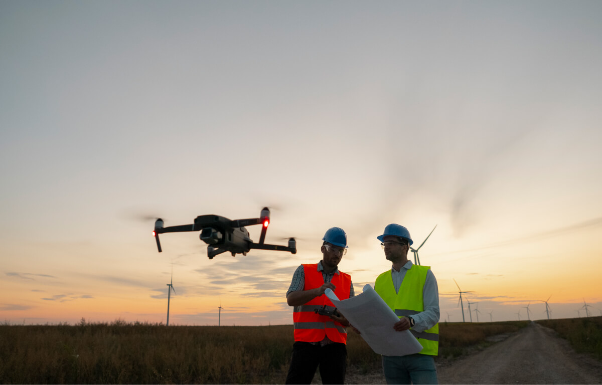
We now support the uploading and geolocated Tiff files (GeotiFF) for the creation of detailed terrains in Cesium Tileset format. There are two processing modes.
- Creation of 3D Terrain mesh tiles
- Creation of 2D image map tiles.
The two can be combined to created highly detailed 3D models of survey or work in progress. Typical source for such files are a wide variety of online data sources, drone and terrestrial LIDAR, and photogrammetry capture systems.
This gives drone operators the ability to create high performance, open format data for integration with our digital twin platform - allowing easy and cost-effective sharing, viewing, and storytelling all from any web browser connected to the internet.
Keep reading
See allInsights

Musings with Mark Thomas
/
Our Founder and CEO gives his thoughts on a whole range of digital twins questions we've been asked.
Insights

Software thinks in seconds. Digital twin platforms should last for centuries.
/
Nextspace is a platform that futureproofs the digital twins you make, dealing with the inevitability of incremental complexity created by time
Insights

Why there's no need to lock yourself into a single visualization option
/
Build data-first and futureproof your digital twin.
Keep reading
See allNo items found.